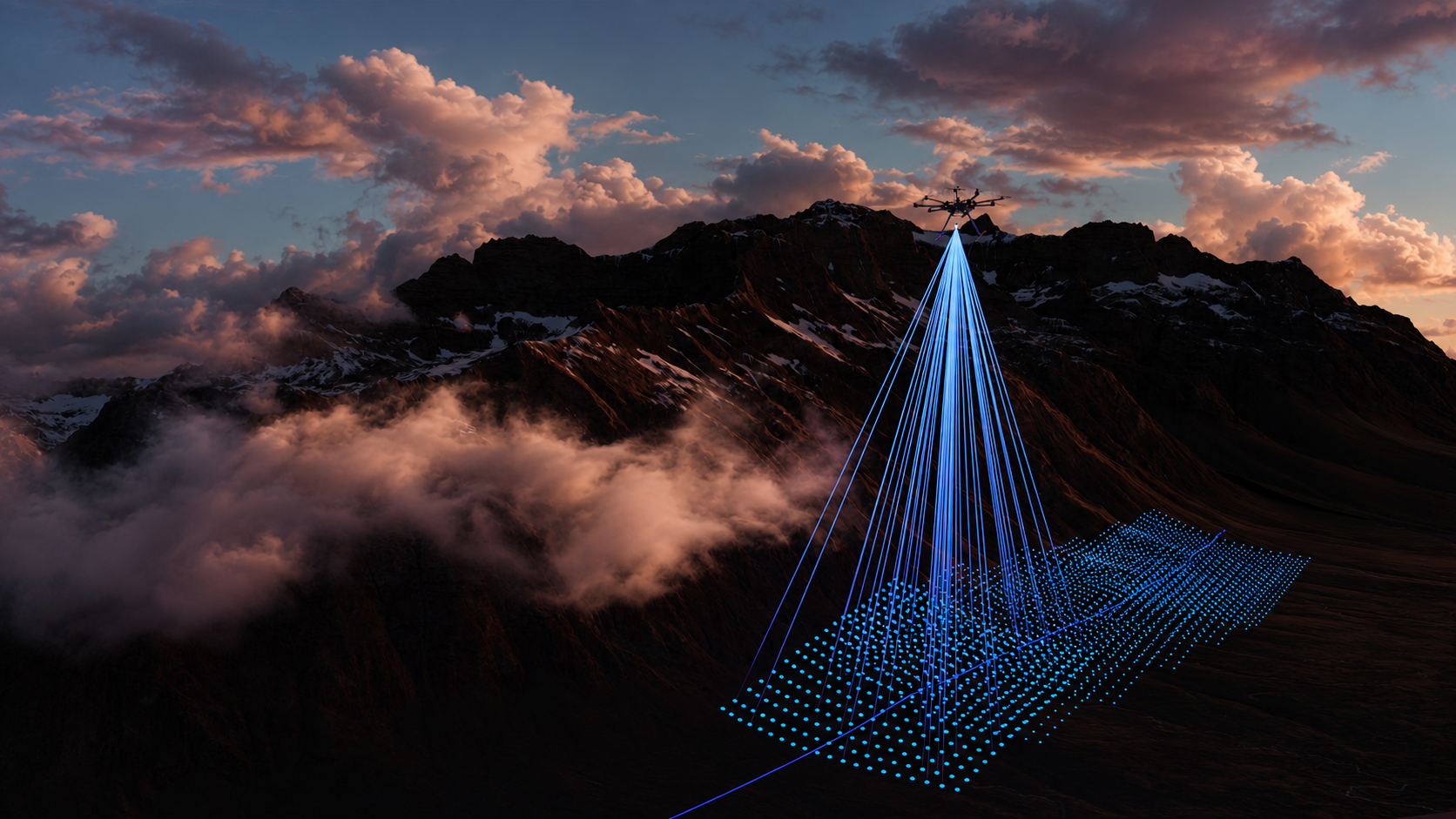
LiDAR-equipped drone surveying a forested landscape.

Turn every flight into a precise 3D map

High-resolution LiDAR enables drones to capture precise 3D data for surveying, terrain mapping, infrastructure inspection, and environmental monitoring—even across complex landscapes.

Explore LiSSA LiDAR
Explore LiSSA LiDAR
Applications

Mapping and Surveying

Mapping and Surveying:
Lidar-equipped drones can generate highly accurate 3D maps of terrain, buildings, and vegetation. This data is valuable in various industries like urban planning, forestry, agriculture, and archaeology.

Topographic Surveys:
Lidar can penetrate dense vegetation, making it useful for creating topographic maps of areas that are difficult to access on foot or by traditional surveying methods.

Product

LiSSA Industrial

Our LiDAR sensor LiSSA Industrial is suitable for many short and medium range applications. The LiDAR is purely solid state, using a 2D SPAD detector. The sensor has very small dimensions, so it can be installed in a very space-saving way.
40k
Pixel 2D SPAD
30m
Range